WQC letter to Governor Mills August 10, 2023
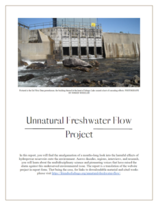
Governor Janet Mills August 10, 2023 1 State House Station Augusta, Maine 04333 Re: A request that the Maine Department of Environmental Protection (MeDEP) reopen the Sebago Lake Water Quality Certification (WQC) for FERC Project No. 2984-080 to address and correct the following: MeDEP’s justification for their Sebago Lake WQC
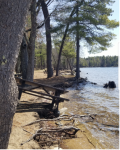
Letter to Ipswich Local News
View Roger Wheeler’s (President of FOSL) letter Double Rolled to Ipswich Local News. VIEW LETTER
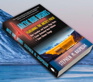
Arctic Blue Deserts
Greetings, FOSL is very pleased to announce that Arctic Blue Deserts, a book by FOSL’s founding President Steve Kasprzak, has just been published. This book is a valuable collection of scientific information and discussion about the impacts of northern dams and their flow regulation. Arctic Blue Deserts focuses on the mega dams of the
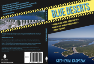
Announcing: “Blue Deserts” Release by Steve Kasprzak
Friends of Sebago Lake is proud to announce the publication of the book, “Blue Deserts” by Steve Kasprzak, FOSL’s founder. Headline news is telling us: The Arctic is the fastest warming place on the planet, Siberia is burning, the Arctic icepack will disappear soon, Greenland’s glaciers are rapidly melting, sea levels